Kaarten van Hambleton (West Virginia)
 1866|LOSSING, Benson John.
 1840|none1:521 015
 1862|L. Prang & Co.
 1865|Chief of Engineers1:350 000
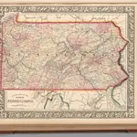
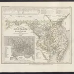 1860|Meyer, J.
 1865|Mitchell, Samuel Augustus Jr.1:1 500 000
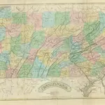 1833|GORDON, Thomas Francis.
Oude kaarten van Hambleton (West Virginia)
Ontdek het verleden van Hambleton (West Virginia) op historische kaarten
Oude kaarten van Hambleton (West Virginia)
Ontdek het verleden van Hambleton (West Virginia) op historische kaarten
Op zoek naar een Google Maps API-alternatief?