Georeferencer main features
Unlock the potential of your maps with our Georeferencer tool. Assign a geographical location to your scanned maps, enrich the metadata, invite the public to collaborate through crowdsourcing events, and make your maps visible online.
Geosearch directly for your maps
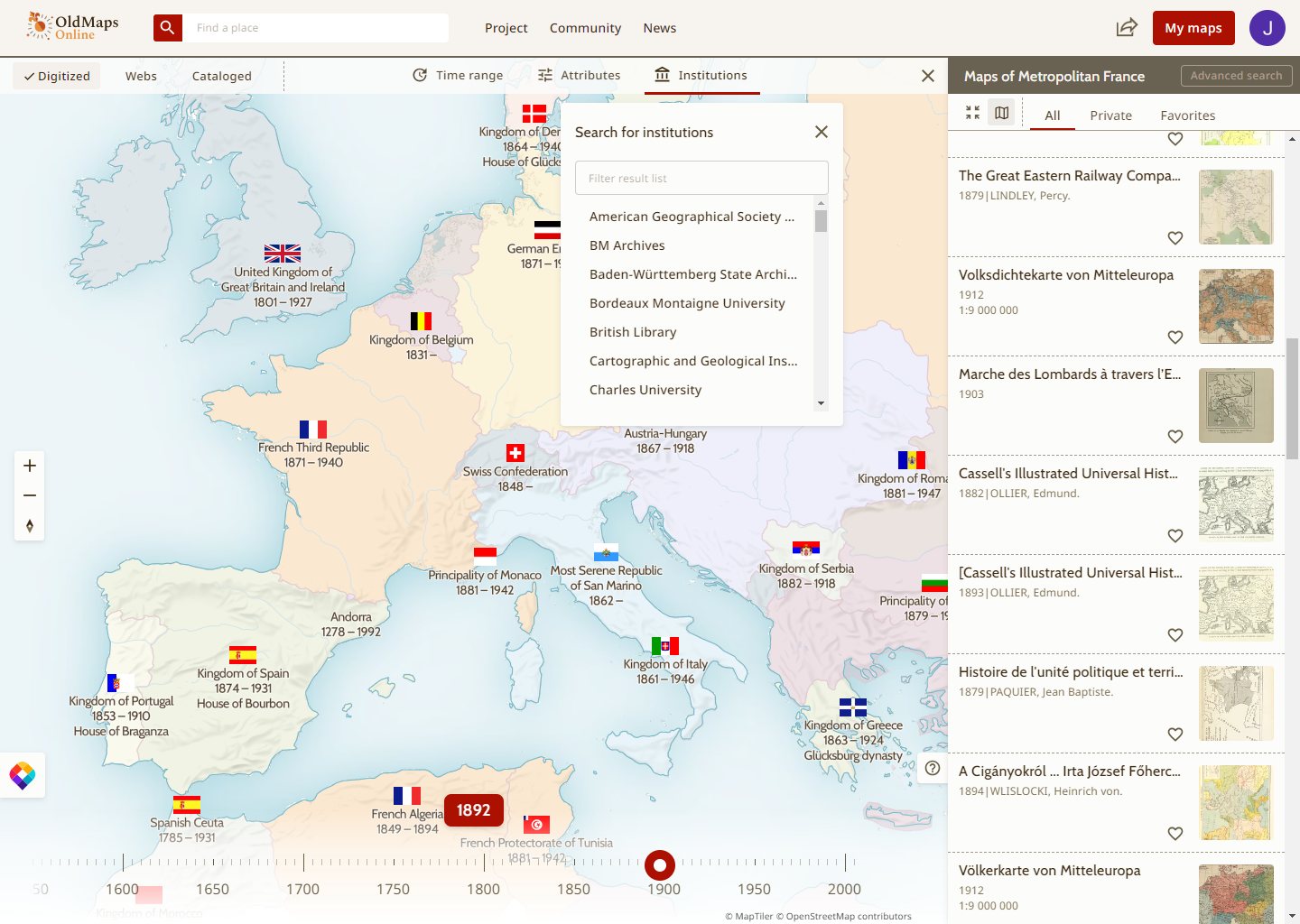
Go beyond traditional cataloging and make your entire map collection searchable by location. Together with the Georeferencer, each institution receives a customized geographical search application for its own map collection. This application can be integrated into the web or presented to visitors.

Exports for GIS and library catalog
The Georeferencer platform fully supports popular standardized protocols and formats. Export georeferenced maps and associated metadata in various formats for use in other applications or for sharing. The provided map services are compatible with the Web Map Tile Service (OGC WMTS) Standard. High-resolution images are displayed via the International Image Interoperability Framework (IIIF).
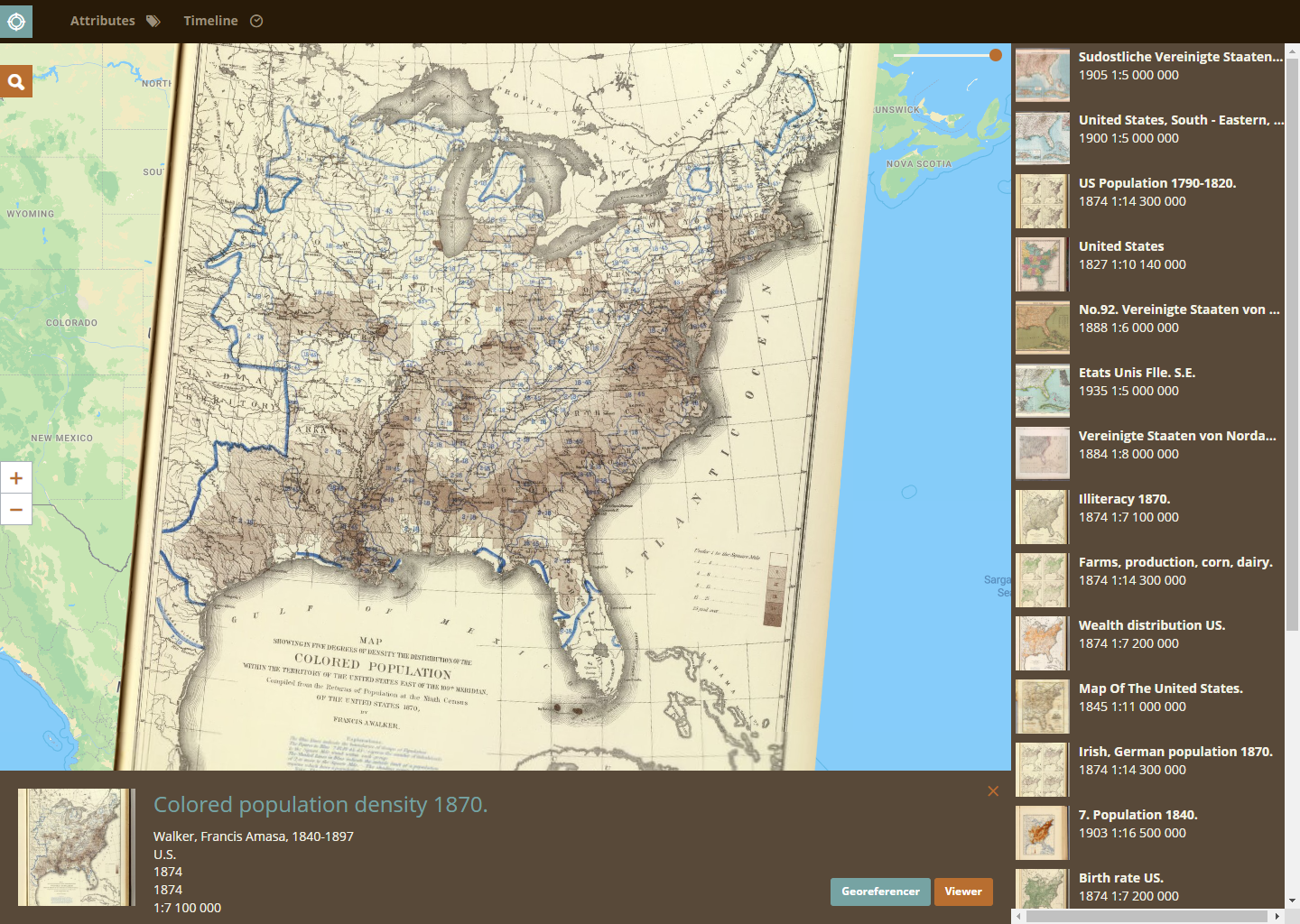
Online crowdsourcing, editing & control
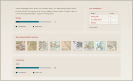
Transform map georeferencing into a community effort. Engage with your online visitors and ask them to help you find the correct location of your scanned maps. Let the general public, lecturers, researchers, and students give your maps a second life. Use the progress bar displays, top contributors, and other widgets to see the progress of your project and encourage more engagement. Track changes and revisions to the map data with a comprehensive review system, ensuring quality and accuracy.
Promote your library and your map collection
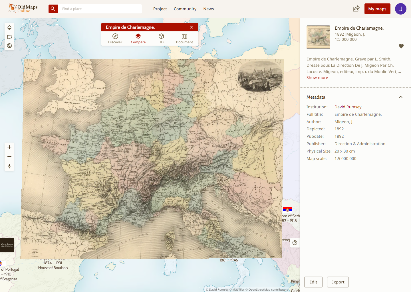
Users no longer have to spend time identifying which institution holds the maps they want to view. The holdings of individual map libraries are presented together in a single interface. Once the user finds a map they need, clicking on the map details will bring up the information about its host institution.
Make it easier to discover your scanned maps
Once your maps have been matched against their geographic locations, your whole map collection suddenly becomes geographically searchable. OldMapsOnline is “like Google for old maps”, providing a single entry point for users to search through map catalogs across a number of institutions in a geographical way.
Number of visitors with Google Analytics
Google Analytics is used to measure the number of visitors to your Georeferencer project and where they come from. This enables you to measure the impact of your maps on OldMapsOnline or the Georeferencer and assists with any reporting.